
Combe du Scex (Alpe des Chaux) - Taveyanne - La Verneyre - Rochegrises
Easy
3h50min
9.6km
+236m
-455m
Description
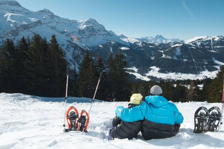
Beginner or Intermediate snowshoe trail, in the rural frame of the forest of Sodoleuvre and the high mountain pasture of Taveyanne, then a return towards Villars by Coufin and La Verneyre.
Starting from Combe du Scex, at the end of the Route de l’Alpe des Chaux, climb approximately 100 metres through the forest before descending to the right, taking care when crossing the ski slopes. Follow the forest track for around 2 km until you reach the charming hamlet of Taveyanne. Walk along the lower edge of the hamlet, then descend to the left towards the line of poles. Continue along the hillside to the right, following the trail markers.
Descend to the cross-country ski trail, cross it carefully and continue through the clearing, following the plateau and its marker poles. Rejoin the cross-country ski trail briefly, then turn left and follow it. Carefully cross the river via the snow bridge, then continue towards two chalets. Follow the cross-country ski trail for a few metres before turning left. Walk alongside the river, which may be snow-covered in places, for approximately 1 km, then climb back up to the right towards the cross-country ski trail. Follow the trail all the way to Rochegrises, where you can make your way back to Villars.
The route can also be completed in three sections:
- Combe du Scex - Taveyanne
- Taveyanne - La Verneyre
- La Verneyre - Rochegrises
Transport
Access
- Free parking lot to Barboleuse and possibility of returning since Villars with the train BVB.
- Access to "Les Chaux" with the cable car since Barboleuse
- Access to the "Combe du Scex" with the bus shuttle Gryon or by car (free parking lot in the center of the "Alpe des Chaux" or Frience, then continue the road by rising until its terminus).
Safety requirements
- Always check the weather forecast and the snow conditions before leaving (no departure without visibility).
- Have with you a map or a plan of the route.
- Respect the road marking and the bans.
- Always visualize the following beacon since the place where you are.
- Be wary of false tracks and do not hesitate to turn back in case of doubt.
- Watch to carry of the adequate material(equipment), the drink and if possible a mobile phone.
- You make a commitment on the plans of hikes, tracks of bottom or sled under your own responsibility.
- We disclaim all liability in the event of an accident, of distraction or problem inherent to forces of Nature.
- By respect for the fauna and the environment, please keep your dog on a leash and collect its dropping and do not leave waste in the nature.
- Wearing snowshoes is mandatory on all snowshoe trails due to the risk of falling.
Alternative routes
- Combe du Scex - Taveyanne
- Level: easy to medium
- Duration: 1h35
- Distance: 3.5 km
- Taveyanne - La Verneyre
- Level: easy to medium
- Duration: 1h30
- Distance: 3.2 km
- La Verneyre - Rochegrises
- Level: easy
- Duration: 1h
- Distance: 1 km
- Alternatively, you can reach Taveyanne by walking downhill from the top station of the Chaux gondola lift.