
Daubensee hiking

1 / 6
Intermediate
2h
6399m
Loop
+175m
-175m
Description
Leave the hustle and bustle of everyday life behind and recharge your batteries on this hike from the Gemmi Pass through the beautiful Alpine ...
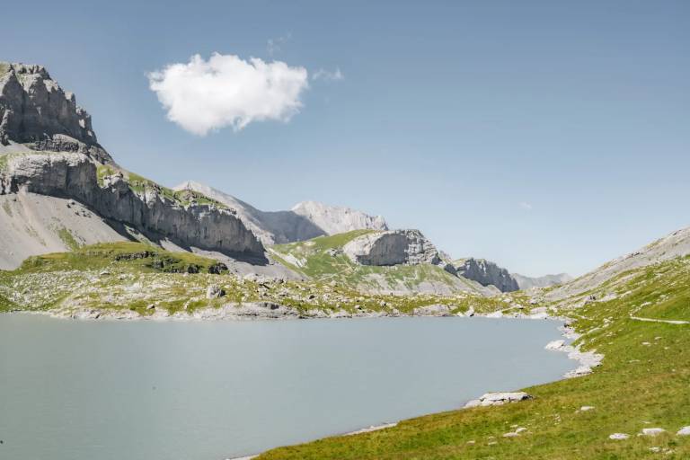
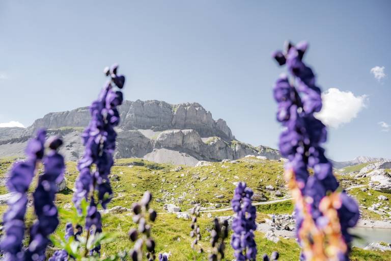
Lake Daubensee lies at around 2,200 metres above sea level. The circular hike around the lake takes approximately two hours and leads through the impressive mountain scenery of the Gemmi region.
Important information about the difficulty level:The two sides of the lake differ considerably in difficulty. While part of the route follows an easy hiking trail (T1), the northern shore at the far end of the lake includes a more demanding T3 mountain hiking section (marked white-red-white). This section requires sure-footedness, suitable footwear and appropriate mountain hiking experience.
Hikers wishing to avoid the more demanding T3 section can follow the easier route along the lake and return the same way.
Surrounded by spectacular mountain scenery, Lake Daubensee is an ideal place to slow down and enjoy the tranquillity of the Alps. Thanks to favourable wind conditions, kitesurfers can occasionally be seen on the lake during the summer months.
From November onwards, the lake gradually disappears: due to its unique geological characteristics, the water drains away underground before the lake fills up again with melting snow in spring.
Transport
From Basel and Zurich: A1 motorway to Bern; A6 to Spiez; direction Kandersteg; car shuttle Kandersteg – Goppenstein; direction Gampel; Leuk – Leukerbad
From Geneva: A1 motorway to Lausanne; direction Sion/Sierre; Leuk – Leukerbad
From Milan: A8/A26 motorway direction Simplon; car shuttle Iselle-Brig; direction Leuk – Leukerbad