
Höhenweg

1 / 2
Difficult
3h50min
10181m
Loop
+544m
-524m
Description
The Höhenweg Leukerbad is a scenic circular hike of 10.2 km with around 700 meters of elevation gain. The route crosses the distinctive terrain ...
The hike starts at the Sportarena Leukerbad and first follows the Roman road towards Birchen. Passing the sports field and two bridges, a small path branches off shortly after the second to the right across the meadow. This leads uphill to the Geissweg, which you follow briefly downhill before the climb to the Höhenweg begins.
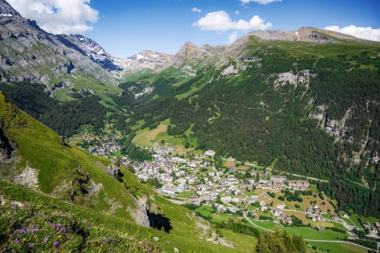
The path ascends to the Tyschen area and runs from there along the upper slope terraces of the Gemmiwand, through the areas of Minotieren, Lees, Morentschi, and Kluscheten. The route offers fantastic views down onto Leukerbad as well as wide panoramas over the Rhone Valley.
The path is varied: sometimes narrow and rocky, sometimes open and soft, always with an alpine character. Those who like being away from wide paths and engage with natural trails will find a quiet but impressive hike here. The round trip ends via Birchen back in the village.
The route described here is one of several possible variants – the Höhenweg can be well combined with other ascent routes.
Transport
From Basel and Zurich: Motorway A1 to Bern; A6 to Spiez; direction Kandersteg; car shuttle Kandersteg – Goppenstein; direction Gampel; Leuk – Leukerbad
From Geneva: Motorway A1 to Lausanne; direction Sion/Sierre; Leuk – Leukerbad
From Milan: Motorway A8/A26 towards Simplon; car shuttle Iselle-Brig; direction Leuk – Leukerbad