
Roman path


1 / 10
Easy
1h50min
7329m
One way
+162m
-162m
Description
The Roman path Leukerbad is an easy, nature-close circular hiking route that passes through picturesque meadows and traditional hamlets. The ...
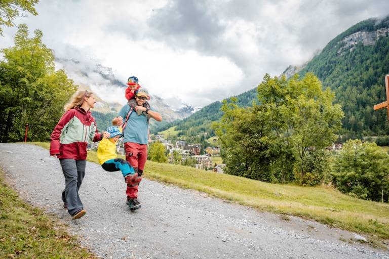
The route starts at the Sports Arena and runs on well-developed paths through the open terrain around Leukerbad. It passes through the characteristic districts Birchen and Bodmen, which present a typical alpine landscape with sun-drenched wooden houses, stables, and small chapels.
The designation "Roman path" refers to the historical importance of the connection between the Rhone valley and the crossings towards Gemmi – although no original Roman paved sections are visible today, the topographical line indicates the former significance of the path as a traffic route.
Along the way there are several opportunities to rest – for example at the Antonius Chapel in Birchen or the rustic Bodmenstübli. The path is easy to walk, hardly steep, and especially on clear days offers beautiful views of the Leukerbad valley basin and the surrounding mountain slopes.
The route is accessible all year round, prepared as a winter hiking trail in winter and also partly suitable for snowshoe hiking.
Transport
From Basel and Zurich: Motorway A1 to Bern; A6 to Spiez; towards Kandersteg; car shuttle Kandersteg – Goppenstein; towards Gampel; Leuk – Leukerbad
From Geneva: Motorway A1 to Lausanne; towards Sion/Sierre; Leuk – Leukerbad
From Milan: Motorway A8/A26 towards Simplon; car shuttle Iselle-Brig; towards Leuk – Leukerbad