
Suonenweg Saas-Almagell - Saas-Grund

1 / 4
Intermediate
1h30min
6073m
One way
+187m
-309m
Description
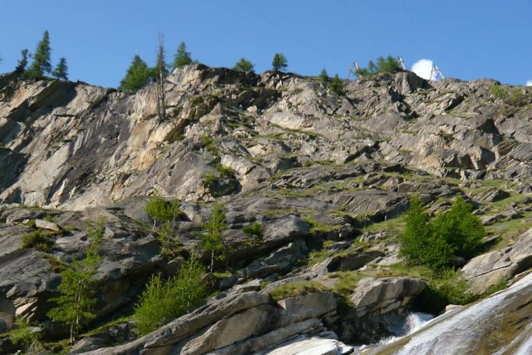
Follow the water of the Almagellersuone and let your soul dangle.
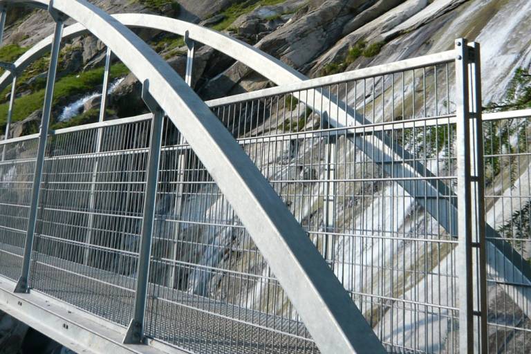
On the Suonenweg, water enlivens the soul and tells of hard, past times and daily life. The Suonen (water channels) bring the urgently needed water over ditches and pipes to the meadows and gardens. These kilometers-long channels originated from water scarcity, which made people inventive and resourceful. Along the way, hikers experience cultural-historical structures up close. The new bridge over the Almagellerbach, the reopening of part of the old water channel "Heuwete," and the Suone "Moosgufer" make the path even more attractive.
The Suonenweg begins at the valley station of the Saas-Almagell chairlift heading northeast. In the first third, follow the markings to "Zum Berg," through the Spisswald to the Almagellerbach, where the bridge is located. From the bridge, the trail leads below the Moos shore to the "Weiler zum Moos" and above the valley road past "Unter den Bodmen," "Zer Brigge," and "Ze Löübinu" to Saas Grund. The path ends in the village section "Gasse" of Saas-Grund near the Postplatz.
Transport
By car, the Saastal is easily and conveniently accessible from all directions, whether from Switzerland or abroad. From the north, you reach us via Bern through the Lötschberg car train. From the east, you come via the Furka Pass or the Furka car train. From the south, we are accessible via the Simplon Pass or the Simplon car train, and from the west, you drive via Lausanne along the Rhone Valley to Visp and from there towards Saas-Fee. From Visp, drive south towards Saas-Fee. At the "Killerhof" roundabout near Stalden, take the second exit to Saas-Fee. In Saas-Grund, turn left after the church towards Saas-Almagell.