
T18 Chastalet circular route

1 / 3
Intermediate
2h30min
6621m
Loop
+337m
-337m
Description
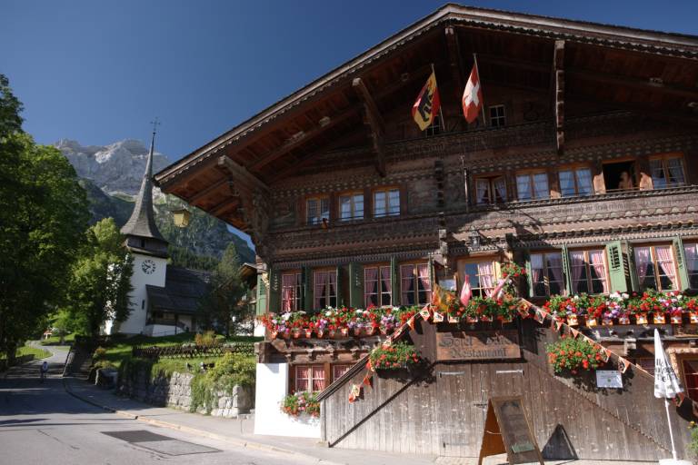
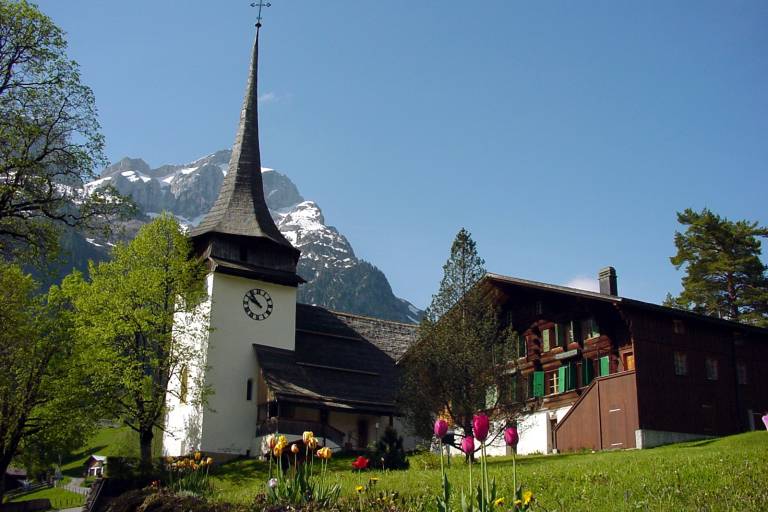
The Chastalet circular route leads through the landscape and history of Gsteig.
The name Gsteig was first mentioned in official documents in 1312 under the name Chastalet (watch, defense, and refuge tower).
The 7 km hike takes us from Gsteig through Rohr to Dürri and further over the Längmatte to the castle. Here we reach the highest point of the hike. The return route to Gsteig leads us through the Rotengraben and Innergsteig.
Various information boards and a brochure available at the tourist office tell us interesting facts about the community of Gsteig-Feutersoey.
From the castle, it is also possible to descend via the spectacular Burgfälle waterfalls into the valley. The mountain trail is well signposted and maintained, but at times a bit exposed. Good footwear is essential!
Transport
The Gstaad holiday region is located in the southwest of Switzerland, directly on the border with the French-speaking part of the country. The region is easily accessible by train or car from the Thun Lake region, the Lake Geneva area, and the Gruyère region. Direct connections to the European high-speed rail network and to all international airports in Switzerland guarantee a time-saving and pleasant arrival. The main means of transport in the Gstaad holiday region are the "MOB" train (Montreux-Oberland Bernois) and numerous postal bus lines.
Gsteig can be reached from Gstaad by postal bus.
On the page [Arrival and public transport](https://www.gstaad.ch/en/summer/plan-book/getting-there-around) on gstaad.ch you will find detailed arrival information.