
Via ferrata Almagellerhorn


1 / 3
Intermediate
3h
3108m
One way
+979m
Description
The path to the Almagellerhorn (3,326 m above sea level) features a relatively short via ferrata section. The rest of the path is an alpine hiking ...
The start of the via ferrata at Almagellerhorn is located at the viewpoint above Heidbodme at the "Wanne". This can be reached from the mountain station Heidbodme in about 1 hour. From the mountain station Heidbodme, the path first leads westwards on the high trail towards Antronapass and then turns northwest after the "Wanne" area. Up to the viewpoint, the path briefly crosses some small rock ledges.
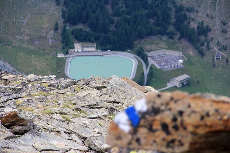
Afterwards, an alpine hiking trail follows, which leads northeast along the ridge. Only a short section along the northeast ridge to the point 3,042 m can be considered the actual via ferrata. The rest of the path continues on an alpine hiking trail (blue-white) to the summit at 3,327 m above sea level. Some sections are additionally secured with ropes. Surefootedness and a head for heights are required for this path.
At the summit, you will be rewarded with magnificent views of the Furggtäli, the Mattmark Lake, and the Mischabel range. The route is demanding and is considered an absolute insider tip.
Transport
The Saastal is easily and conveniently accessible by car from all directions, whether from Switzerland or abroad. From the north, reach us via Bern through the Lötschberg car shuttle. From the east, come via the Furka Pass or the Furka car shuttle. From the south, we are accessible via the Simplon Pass or Simplon car shuttle, and from the west, you drive through Lausanne along the Rhone Valley to Visp and from there towards Saas-Fee.
From Visp, drive south towards Saas-Fee. At the "Killerhof" roundabout near Stalden, take the second exit to Saas-Fee. In Saas-Grund, turn left after the church towards Saas-Almagell.