
W12 Rinderberg - Alp Wistätt - Betelberg/Leiterli

1 / 6
Difficult
5h30min
17714m
One way
+538m
-598m
Description
By train to Rinderberg, via Alp Wistätt to the Leiterli mountain station and down by gondola to Lenk. This panoramic hike is challenging and long! ...
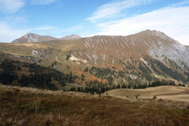
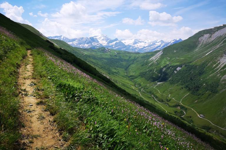
By gondola, you go up to Rinderberg. Extensive alpine pastures and steep wild hay meadows characterize this high-altitude hike. At the end of the Gandlouen ridge, you descend via Parwengechessel and Undere Zwitzeregg to the Rüwlisepass. Then the path gains altitude to Heuberg. Caution, the path is narrow and steeply descending and runs high above the Turbach valley towards the Trüttlisberg pass. From there, the path leads through the impressive gypsum craters - “Gryden” (caution: very slippery rock in wet weather!) with views of the Lenk mountains to the Leiterli mountain station (Betelberg). From Leiterli, you take the gondola down to Lenk and return by train to Zweisimmen.
Transport
The Gstaad holiday region is located in the southwest of Switzerland right on the border to the French-speaking part of the country. The region is easily accessible by train or car from the Thunersee region, Lake Geneva area, and the Gruyère region. Direct connections to the European high-speed train network and to all international airports in Switzerland guarantee a time-saving and comfortable arrival.
On the page [Arrival and public transport](https://www.gstaad.ch/en/summer/plan-book/getting-there-around) on gstaad.ch you will find detailed arrival information.