
W19 Schönried – Rellerli – Bire – Sparenmoos

1 / 6
Difficult
5h30min
15963m
One way
+794m
-387m
Description
Enjoy the panoramic hike from Schönried up to Rellerli, continuing over Bire to Sparenmoos, and take in the beautiful mountain scenery of the ...
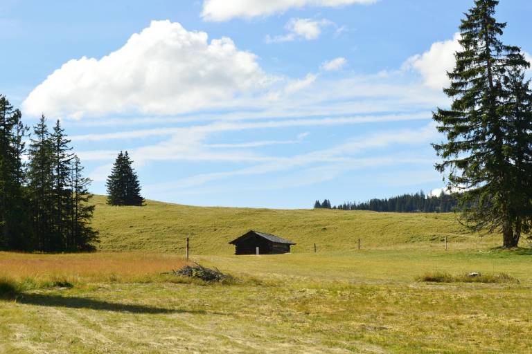
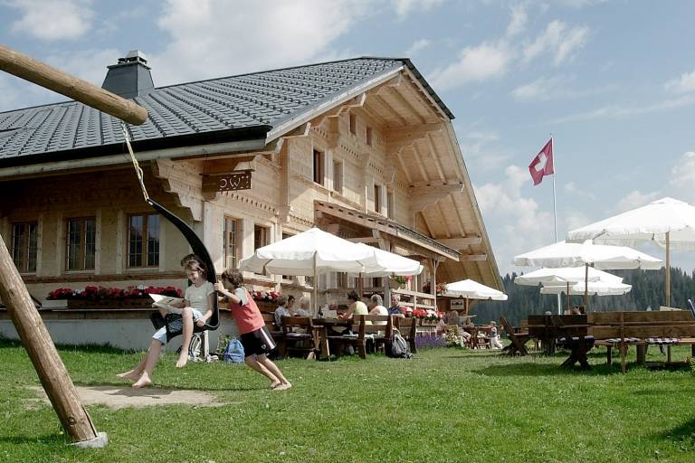
From Schönried, hike up to the Sonnenberg Rellerli (1833 m). After a bit more than an hour of ascent, you will reach the Rellerligrat. Here you can enjoy a 360-degree view of the entire mountain world of the Saanenland. After another short ascent, a 1.5 km long panoramic path follows towards Bire. From there to Nüjeberg, the hike remains quite flat except for a short ascent and descent. At Alp Nüjeberg you have the opportunity to refresh yourself or continue hiking down to Sparenmoos. At Sparenmoos, you can also stop at Site Alp to enjoy the view and have a snack.
From Sparenmoos, you can either hike the last 4 km down to Zweisimmen, take the hiking taxi, or rent a scooter at Site Alp (approved from 12 years old) and experience an exciting ride back to Zweisimmen train station.
Transport
The holiday region of Gstaad is located in the southwest of Switzerland, directly on the border with the French-speaking part of the country. The region is easily accessible by train or car from the Lake Thun region, the Lake Geneva area, and the Greyerz region. Direct connections to the European high-speed train network and all international airports in Switzerland ensure a time-saving and comfortable arrival.
Detailed arrival information can be found on the page [Arrival and Public Transport](https://www.gstaad.ch/en/summer/plan-book/getting-there-around) on gstaad.ch.