
W31 Turbach - Giferspitz - Turbach

1 / 3
Difficult
6h10min
14693m
Loop
+1393m
-1393m
Description
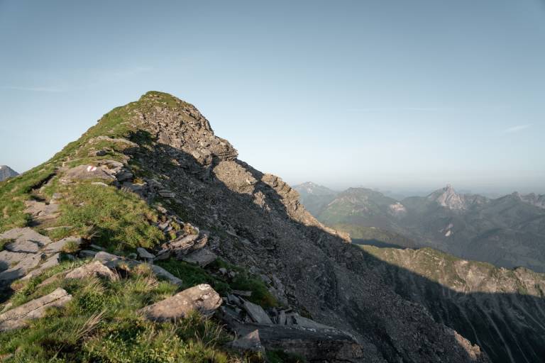
Mountain hike for experienced and sure-footed hikers to the Giferspitz, the highest peak in the Saanen region, accessible by a mountain hiking trail.
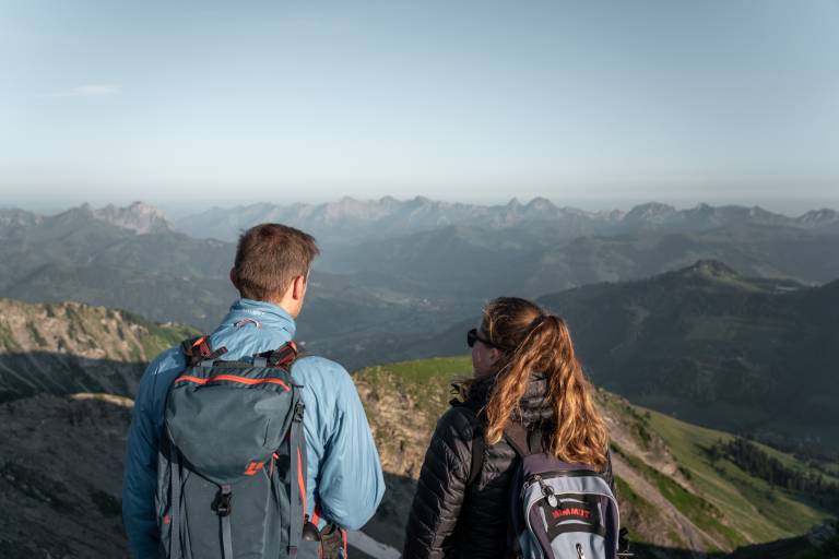
The difficult hike starts in the village center of Turbach. From here it first crosses the Turbach stream to the other side of the valley. Then the path leads through forest and clearings to the point Bärgli. Shortly afterwards, the Berzgummbach is crossed. Past alpine huts and over a grassy ridge you reach the Giferhüttli. Over the rocky ridge you reach the summit of the Giferspitz (2,541 m above sea level). The panoramic view from the summit is magnificent.
As a return route, it is recommended to hike over the Louwenehore and then via Turnelsattel and Obere Turnels back to Turbach. If this is too exhausting, you can also return along the ascent route to the starting point.
Transport
The holiday region of Gstaad is located in southwestern Switzerland, directly on the border to the French-speaking part of the country. The region is easily accessible by train or car from the Thunersee region, the Lake Geneva area, and the Greyerz region. Direct connections to the European high-speed train network and to all international airports in Switzerland guarantee a time-saving and pleasant arrival. The main means of transport in the Gstaad holiday region are the "MOB" train (Montreux-Oberland Bernois) and numerous postal bus lines.
Turbach can be reached from Gstaad by postal bus.
On the page [Arrival and public transport](https://www.gstaad.ch/service/anreise-oev.html) on gstaad.ch you will find detailed arrival information.