
W43 Glacier 3000 (Scex Rouge) - Sanetsch - Gsteig

1 / 4
Difficult
5h45min
19600m
One way
+56m
-1805m
Description
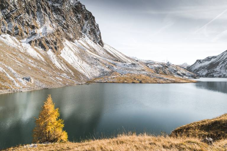
The varied route leads from the Scex Rouge mountain station across the glacier via Quille du Diable and Sanetsch Lake to Gsteig.
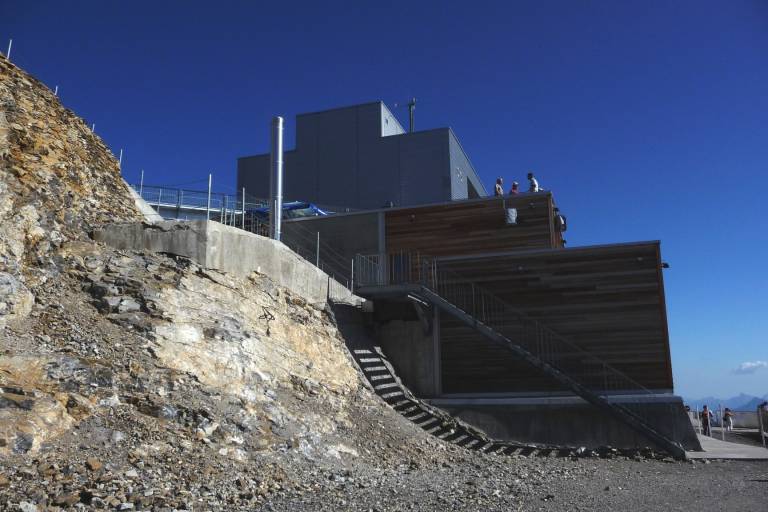
From the Col du Pillon (1545 m), take the Glacier 3000 cable car to the final stop Scex Rouge (2940 m). From here you have a wonderful view of the fascinating mountain world and the Tsanfleuron Glacier, which you cross. Make sure to always follow the well-marked glacier bus path. You hike southeast to Tour St. Martin (Devil's Peak 2908 m), which you can recognize at the end of the glacier. For safety reasons, be sure to choose the descent south of the last ski lift (no glacier crevasses on this path). The signpost near the lift station points you in the direction of the Cabane de Prarochet (2555 m). At the source of the Saane, go right along the natural path along the lake to the Sanetsch Dam (restaurant 2062 m). The steep descent to Gsteig (1184 m) can also be comfortably managed by cable car.
Important: Please check in advance whether the hike is open and the condition of the route.
Transport
The holiday region of Gstaad is located in the southwest of Switzerland, directly on the border with the French-speaking part of the country. The region is easily accessible by train or car from the Thun Lake region, the Lake Geneva area, and the Gruyère region. Direct connections to the European high-speed train network and to all international airports in Switzerland guarantee a time-saving and pleasant arrival.
On the page [Arrival and public transport](https://www.gstaad.ch/en/summer/plan-book/getting-there-around) on gstaad.ch you will find detailed arrival information.