
Ww6 Saanenmöser - Schönried (promenade path)

1 / 4
Easy
45 minutes
2523m
One way
+12m
-50m
Description
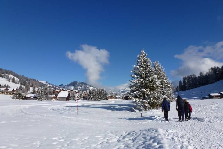
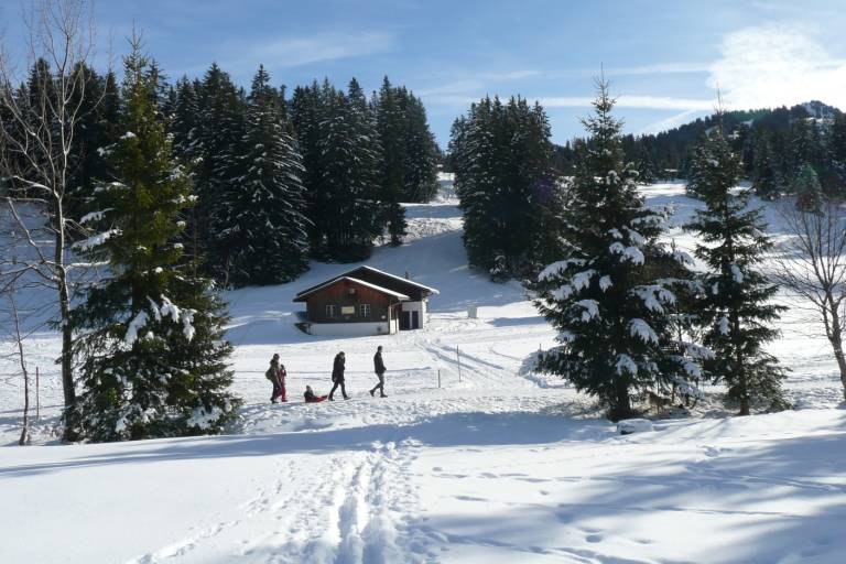
This very popular, beautiful, sunny and flat promenade crosses the plateau of the Saanenmöser moor to Schönried or vice versa. / Current status ...
The winter hiking trail leads along a sunny, flat promenade from Saanenmöser to Schönried. From Saanenmöser railway station, the trail crosses the open plateau, passing extensive snowfields and offering views of the Rüblihorn, Gummfluh and the Diablerets mountain range. The trail is well maintained and easy to walk. Along the way, information boards provide details about local features. Shortly before Schönried, the view opens up onto the village and the local mountain, Horneggli, before the trail ends in the centre of Schönried.
Transport
The Gstaad holiday region is located in the southwest of Switzerland, right on the border to the French-speaking part of the country. The region is easily accessible by train or car from the Thun Lake region, Lake Geneva area, and Gruyère region. Direct connections to the European high-speed train network and all international airports in Switzerland guarantee a time-saving and pleasant journey. The main means of transport in the Gstaad region are the "MOB" train (Montreux-Oberland Bernois) and numerous postbus lines.
On the page [Arrival and public transport](https://www.gstaad.ch/sommer/planen-buchen/anreise-mobilitaet) on gstaad.ch you will find detailed travel information.