
25 Gstaad - Wasserngrat - Turnels - Gstaad (No. 25)


Description
Extremely rewarding, but very demanding trail offering a lot in terms of landscape and botany.
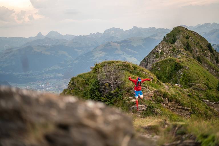
Start your trail run at the promenade in Gstaad. At the “Louwibachbrügg”, follow trail run sign no. 25 towards the Wasserngrat valley station. The next three kilometers climb steeply uphill. At the Wasserngrat mountain restaurant, you have the option to stop and enjoy the fantastic view of the mountain world. Now follows the core section of this trail, a rather narrow and exposed north-south running ridge. Although the exposed sections are secured with cables, this route is only suitable for sure-footed and fearless runners. In wet weather, fog, or snowfall, it is advised not to attempt this route. At the “Turnelssattel”, turn left towards Alp Turnels, Wasserngrat valley station, and Gstaad village.
Notes: The trail can be shortened, please observe the operating times of the Wasserngrat chairlift. Extension of the route is possible: for example Alp Turnels-Giferspitz-Turbach-Gstaad or Turnelssattel-Türli-Lauenen or Turbach-Gstaad.
Mountain hiking trail - may contain chain-secured and exposed sections. The path is not always visible. Sometimes you need your hands for balance. Sure-footedness and average orientation skills are required.
Marking
Map references
Zweisimmen 1:25,000
Saanenland Simmental 1:50,000
Swisstopo hiking map 1:50,000 263T Wildstrubel